PROYECTOS
Asesoría para Corporación Ciudades
cliente: Corporación Ciudades
año: 2019
txt.ES
Un encargo de la Corporación Ciudades, una organización sin fines de lucro dedicada a promover una mejor planificación urbana, realizada junto a Sergio Lucero y Nadinne Canto.
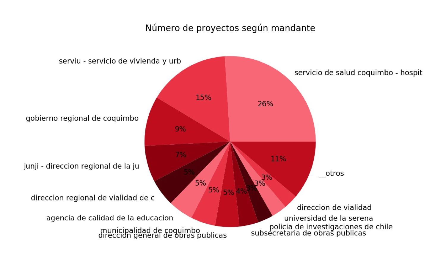
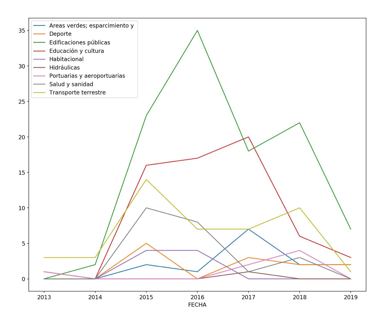
Consistió en una revisión exhaustiva de los datos públicos chilenos (sobre todo geoespaciales) relacionados con el bienestar territorial, o el modo en el que diversos parámetros de desarrollo urbano pueden afectar la calidad de vida de sus habitantes y como estos parámetros pueden cambiar de un barrio o manzana a otro dentro de una ciudad. La base para este trabajo fueron los datos del indicador de bienestar territorial pero se añadieron datos de diversas fuentes públicas tales como el censo, el portal GEO-CGR de la Contraloría General de la República y muchas más.
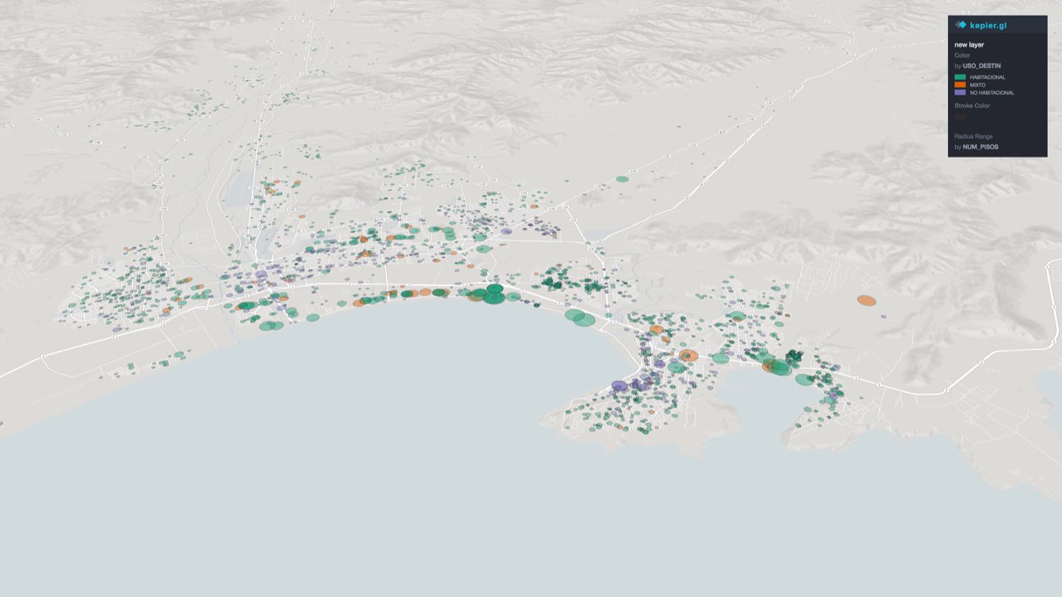
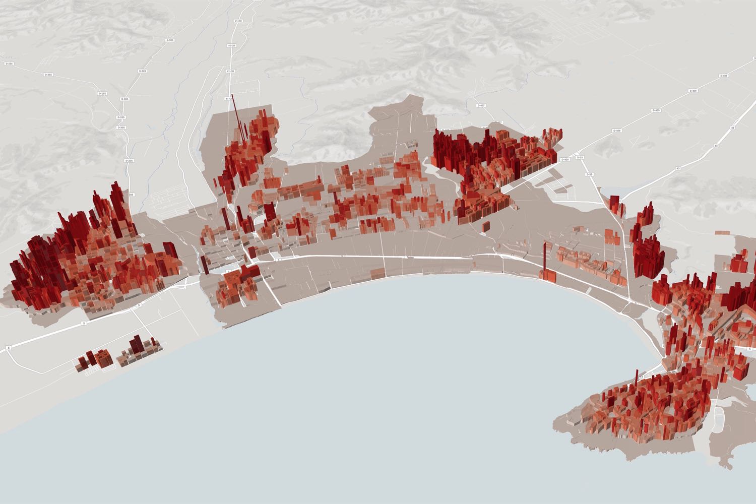
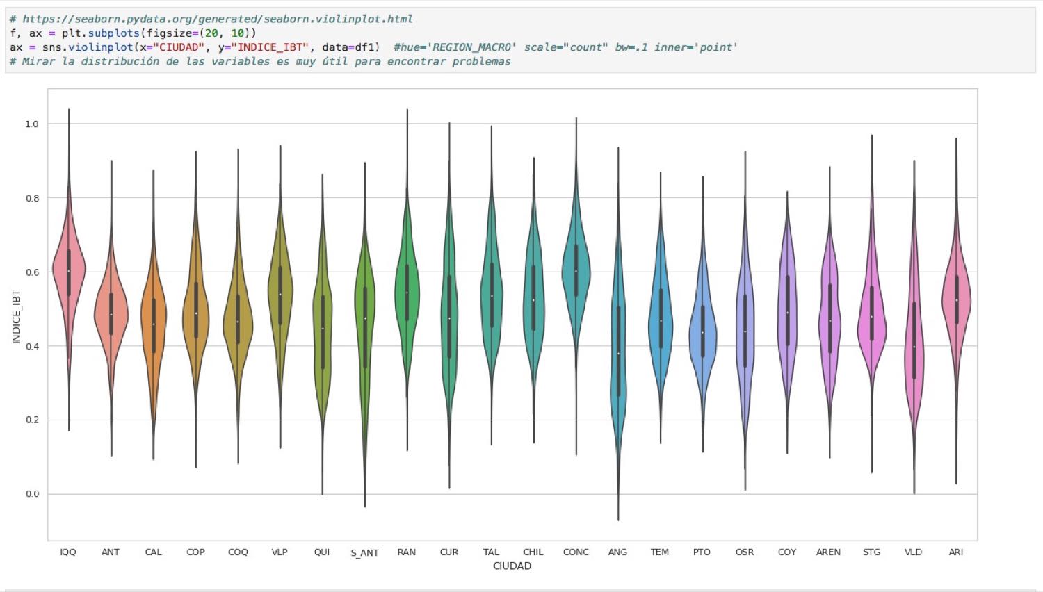
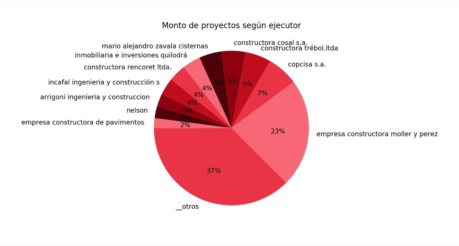
Para extraer y transformar datos la herramienta principal fue el lenguaje de programación Python, y Pandas, una de sus librerías. Los datos limpios se visualizaron a través de gráficos y mapas (usando Kepler.gl). El resultado fue un completo análisis de parámetros de desarrollo urbano, organizados por ciudades, y mapas interactivos que permiten una exploración más libre y clara de los datos geoespaciales.
txt.EN
As a commission from Corporación Ciudades, an ONG dedicated to the promotion of better urban planning, developed with Sergio Lucero and Nadinne Canto.
It consisted on a thorough review of Chilean public data (mostly geospatial) related to the territorial wellbeing, or the way in which different measurable parameters of urban development can affect the quality of life of its inhabitants, and how this parameters can change from one neighborhood or block to another inside the city. The basis for this work were the data from the indicator of territorial wellbeing but new sources were added, such as censal data, building permits, public proyects and more.
To extract and transform the data, the main tool was the programming language Python, and Pandas, one of its libraries. The cleaned up data was visualized through graphics and maps (using Kepler.gl). The result was a complete analysis of parameters of urban development, organized by cities, and interactive maps that allow a deeper and clearer exploration of the geospatial data.
GALERÍA
