PROYECTOS
txt.ES
El ramal elquino fue una línea de tren que recorrió 90 km entre La Serena y Rivadavia, conectando la costa con el interior de la cordillera de los Andes. Las particulares condiciones de este estrecho valle hicieron que durante varias décadas el tren fuera la única opción de desplazamiento, hasta que este fue reemplazado por una carretera construída en el extremo opuesto del río.
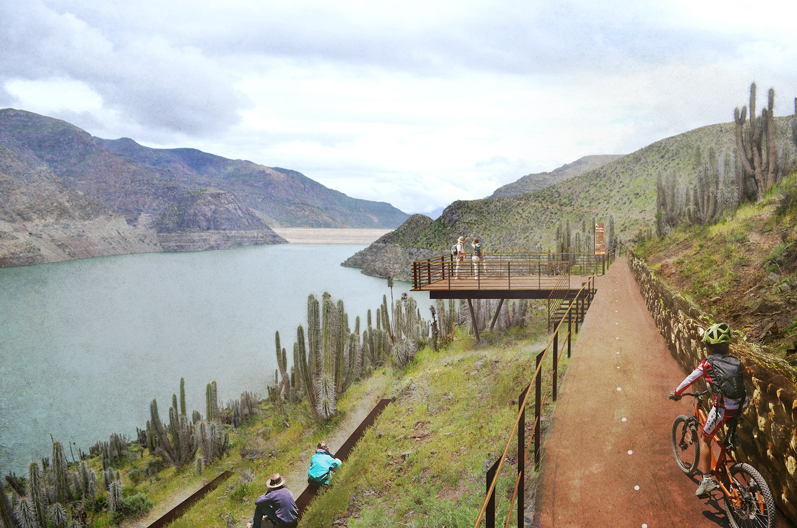
El proyecto Elqui Pedaleable propone la reconversión de esta faja ferroviaria en desuso, transformándola en una vía verde (o corredor de movilidad no motorizada). Esta operación tiene dos grandes efectos positivos: en primer lugar entrega una alternativa segura de movilidad a los habitantes de los poblados para acceder a equipamientos y servicios públicos sin depender del auto o del costoso transporte público. Y en segundo lugar, integra a estos poblados en el turismo, del que quedaron semi excluídos cuando se consolidó la carretera en el lado opuesto del valle.
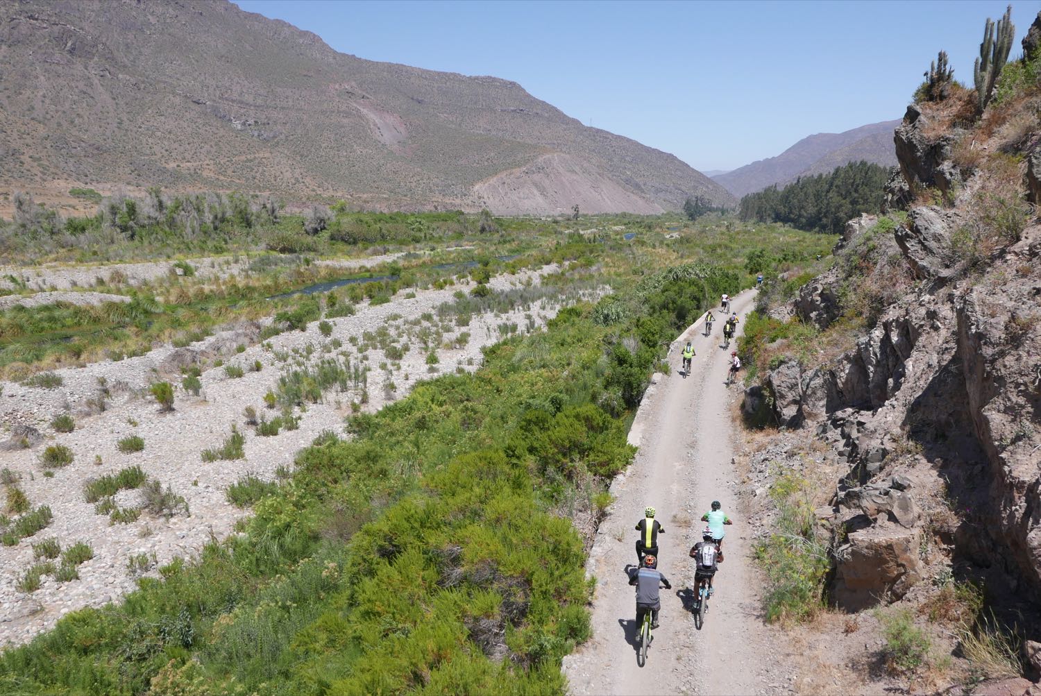
Para destacar el potencial de esta ruta, junto al equipo de Pedaleable.org realizamos diversas actividades sobre la ruta, algunos de las cuales fueron: cicletadas, publicaciones, levantamientos de fotos esféricas con google street view, catastros geográficos, mapas, sitios web, un pabellón expositivo y más. Pese a la cobertura en medios de circulación local y nacional, el proyecto está detenido, a la espera aprobación de la compañía (privada) dueña de la ruta, llamada Ferronor.
txt.EN
The Elqui branch was a railway that traveled 90 km between La Serena and Rivadavia, connecting the coast with the interior of the Andes mountain range. The particular conditions of this narrow valley made the train the only mobility option for several decades, until it was dismantled and replaced by a highway.
The Elqui Pedaleable project proposes the reconversion of this abandoned railway, transforming it into a green way (or corridor of non motorized mobility). This operation has two big positive effects: in the first place, it gives a safe mobility access to the inhabitants of the villages along the former railway, making them less dependent of the car or the (relatively) costly public transport. And on the second place, it integrates this villages into the tourism activity, of which they became almost excluded when the highway was consolidated in the opposite side of the valley.
To highlight the potential of this route, on Pedaleable.org we developed diverse activities on the route, some of which were: bike rides, publications, spherical photo surveys with google street view, geographic surveys, maps, websites, an expositive pavilion and more. Despite the coverage in local and national media, the project is stopped, waiting for approval of the (private) company that owns the line, called Ferronor.
GALERÍA